Caddie Surveying Application
The Caddie Surveying Application is one of the most powerful applications used by Consulting and Civil Engineers as well as Surveyors and planners.
Caddie is a unique application that provides coordination intelligence as a standard in the software. The intelligence is saved with the documentation at all times. This includes local and GPS (WGS84) coordinates inserted in both north and south hemispheres.
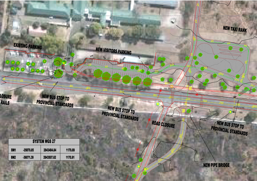
The Caddie Surveying Application has a direct link to applications such as Google Earth and Microsoft satellite images. The Surveying Application makes the import and export of coordinates very easy as well as the notation of coordinates, distance and direction on documents. Caddie also allows for direct import and export to other design applications, making it the first choice in the consultant, civil engineer and surveyors design office.
Caddie uses the industry standard '.DWG' drawing format, also supporting '.DXF'; thus making it the leader in communicating directly to industry standard design applications.
The Caddie Survey Application Provides You With:
Setup and control of Surveyors Mode
Caddie surveying allows the user to set up multiple survey modes such as WGS84 and GPS in both hemispheres. Survey mode can also be queried and be set from just indicating two points on the drawing. Survey documents can easily be merged by using the locate option.
Coordinates
Coordinates can be inserted and written to the drawing manually or from a text file or XLS document. They can be queried and displayed to screen or document. These coordinates can be moved by indicating the new coordinates and lines involved. Caddie will then redraw the new data and adjust the coordinates.
Join text and Borders
Joining of coordinate points via automatic tracing or indicating coordinates is made easy. Notation of angle and direction is instantly generated with options of number of decimal places.
Points and polar drawing commands
Site boundaries can be drawn by using the polar option, this requires a distance and angle e.g. tables from surveyor general’s office. It can also be achieved by drawing to supplied Y and X coordinates. Construction line options are available as a design aid
Grid lines and pan
Grid lines are inserted relative to the survey coordinate settings of document. This will also cater for the rotation angle if applicable. Points can also be found by using the pan option, this utility is crucial to find specific coordinates and areas when large survey drawings are handled.
Transition curves and symbol placement
Produce and fit transition curves for road design as well as inserting PI’s. Coordinates or groups can be exported through a selection filter to a file or inserted into the drawing as a coordinate block. Symbols such as power lines and manholes etc. can be inserted at fixed distances normal to a polyline in a profile.
Coordinate import and translations
Coordinates can be imported from Excel and text format files. These coordinates can be automatically linked during the import process. A very intelligent translation process that handles numerous configurations, grid coordinate systems and datums is used to import data such as WGS 84 or GPS. Satellite images, maps and hybrid documents are a breeze in Caddie - a leader in vector and imaging documentation.
Direct measurement and output of Latitude and Longitude from drawings
The user can measure the real distance in different units of Satellite imagery and query GPS coordinates from the drawing being created. Caddie can show coordinates on the cursor as it is moved over the drawing or image. This is very helpful during design as the position and orientation is constantly available.
The Caddie Survey Application is included as standard with Caddie Professional